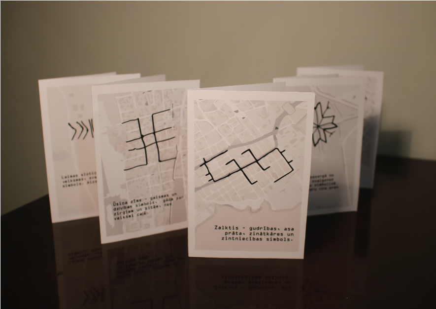
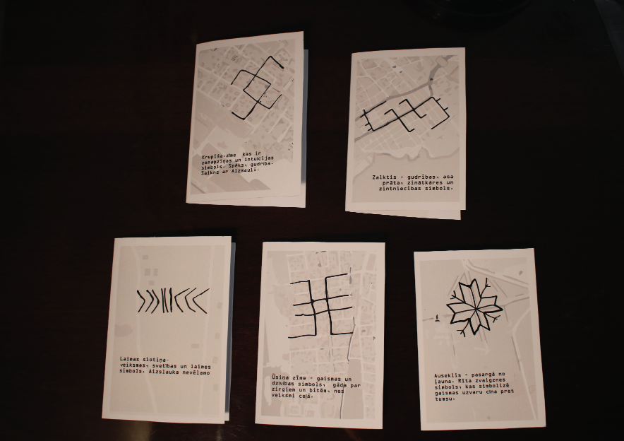
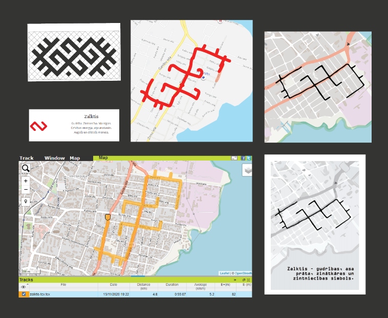
Process. First the symbol is selected, then I search for the location on the map, place where there are enough street intersections and street angles correspond to the selected symbol. A sketch is created to be used as a guide for the walking. By walking the created path and using a GPS device the data is collected, which is then placed on a stylized map to form the card.